Archive numérique de cartes d'orientation de Terje Mathisen
|
Connexion
Tous les utilisateurs
|
Langue:
Français
Česky
Dansk
Deutsch
Eesti
English
Español
Français
Italiano
Magyar
Norsk
Português
Svenska
|
DOMA 3.0.11
Montrer les choix d'itinéraires
Cacher les choix d'itinéraires
|
Montrer la vue d'ensemble
Cacher la vue d'ensemble
|
KML
|
Retour
<< Veritasmsterskapet (17-09-2026)
OSI/Geoform (19-09-2026)
Catégorie:
Competition
Carte/région:
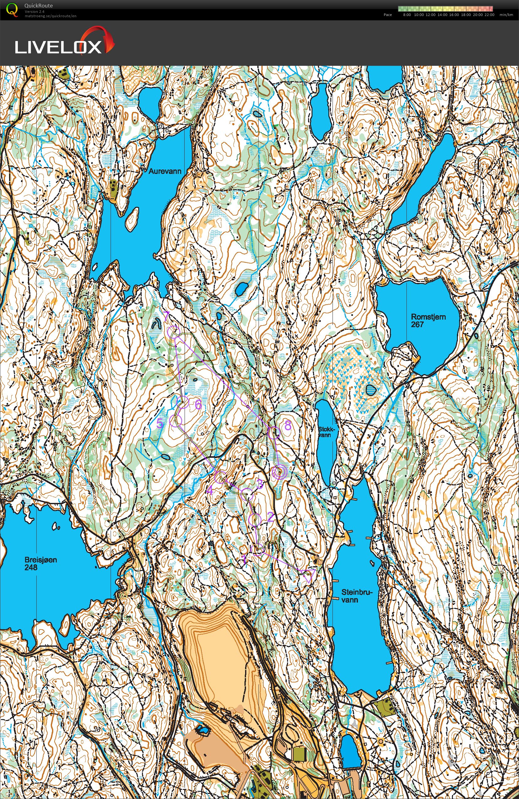
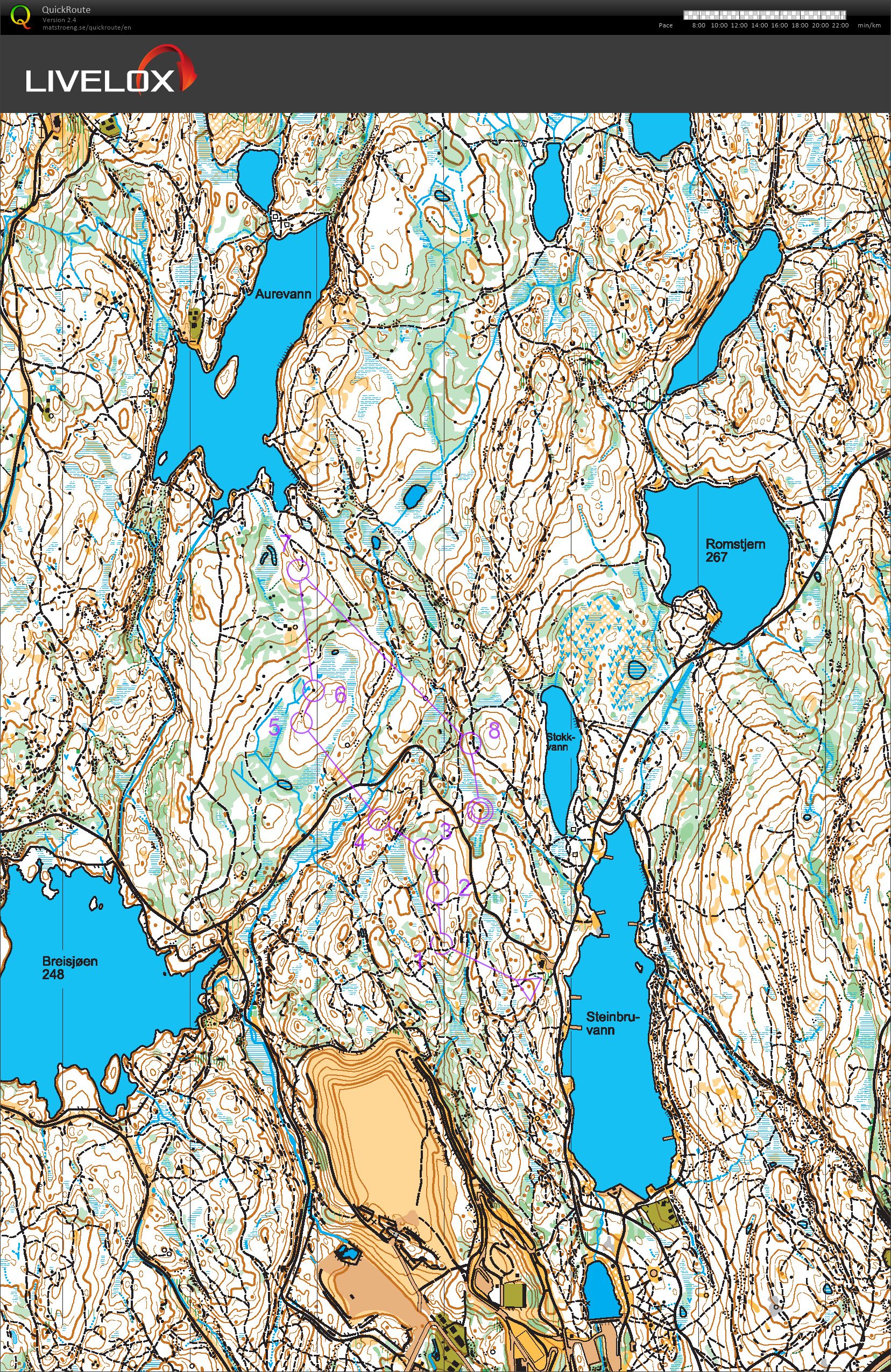
Krutthuset, Steinbruvann
Distance:
2.36 km
Temps:
27:12
HR moyen:
131
HR maximum:
158
Did not spot the path junction towards #1, otherwise OK.
On the long leg to the last control I looked at the map and realized that there had to be some sort of connection between the two path segments, and that was correct, it looked like a pretty good single-track MTB path.
Montrer les commentaires
Cacher les commentaires
(
0
)
Poster un nouveau commentaire
Nom:
Courriel:
Enregistrer
 Français
 Česky
Česky Dansk
Dansk Deutsch
 Eesti
Eesti English
 Español
 Italiano
 Magyar
 Norsk
Norsk Português
 Svenska