Archivio digitale di mappe di Orienteering di Terje Mathisen
|
Accedi
Tutti gli utenti
|
Lingua:
Italiano
Česky
Dansk
Deutsch
Eesti
English
Español
Français
Italiano
Magyar
Norsk
Português
Svenska
|
DOMA 3.0.11
Mostra le scelte di percorso
Nascondi le scelte di percorso
|
Mostra anteprima della carta
Nascondi anteprima della carta
|
KML
|
Indietro
<< Tour of Lillomarka #7 (2023-06-05)
|
Vest-Telemark 2-dagers (2023-06-10) >>
Morgenfrisk i Follo (2023-06-07)
Categoria:
Competition
Nome della mappa:
Åsland
Risultati
Distanza:
5.24 km
Tempo:
49:24
Media HR:
150
Massimo HR:
171
Full video tracking:
here
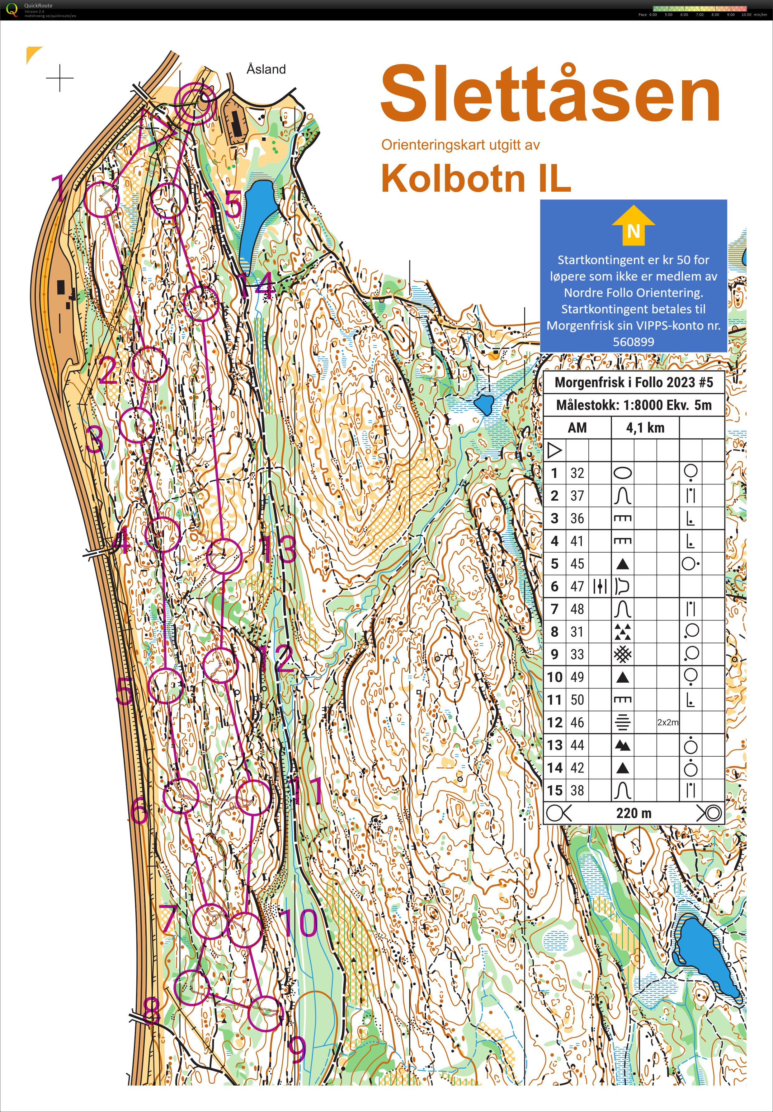
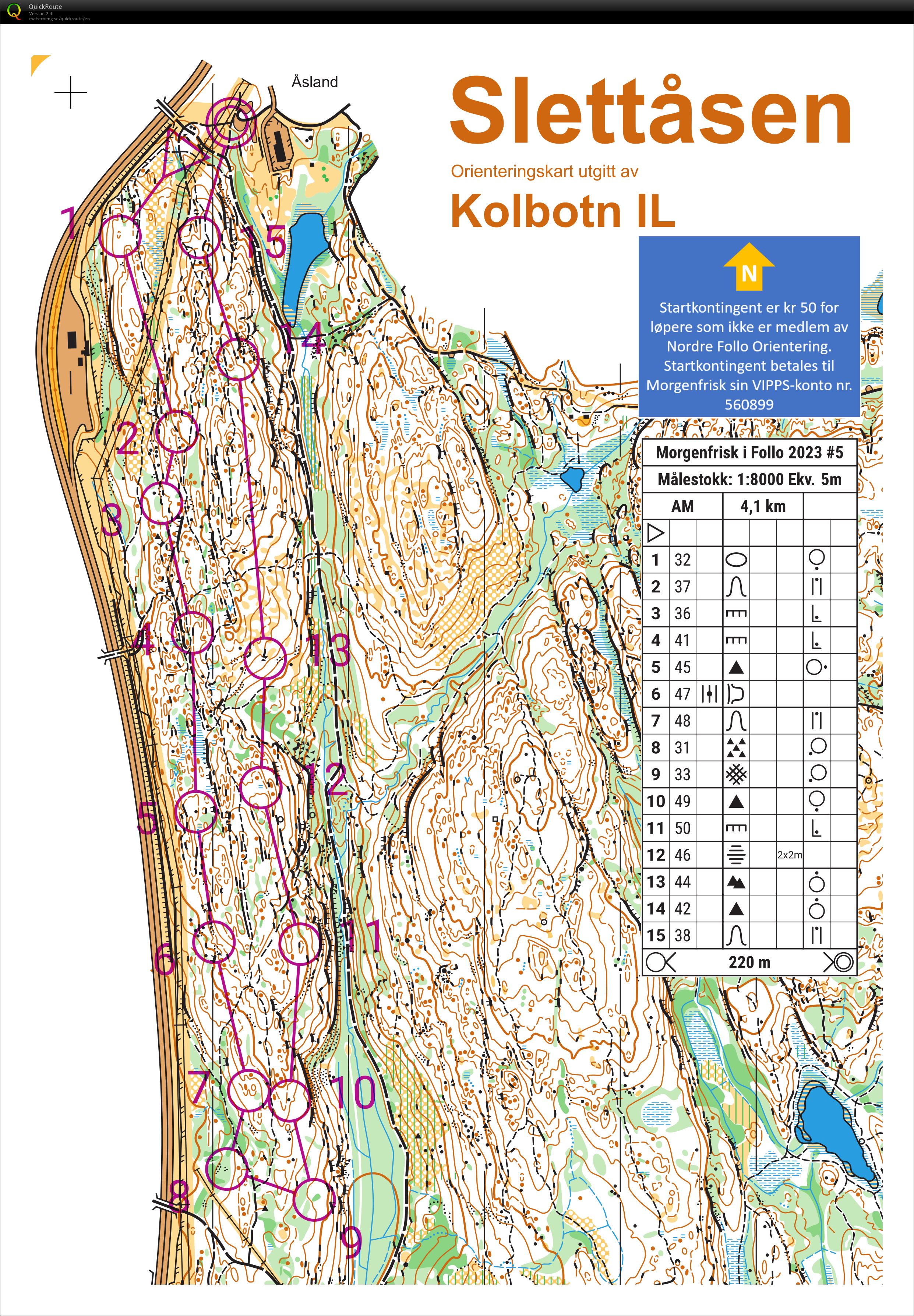
A few good legs, but also some really bad mistakes, particularly to #11 where I thought I was orienteering from 11 to 12 instead!
I just crossed the main path believing it was the indistinct one west of 11, then almost passed #7again before I realized that something was really wrong. At this point I decided that I must have passed the indistinct path without seeing it and that I needed to get back up to the main path and follow it to the bend where I should go towards control 12. When I hit the multiway path junction I still thought I was orienteering towards 12, so I ran back and passed the top of the hill once more before I finally realized what I had done wrong.
Besides the ~4 min lost here, I also dropped half a minute on #3 when I failed to see the flag from above the cliff on my first attempt, then I lost about the same or a bit more on #9 where the vegetation boundary in reality was an unmapped 1m cliff, with the flag stuck at the foot of it. I hesitated a _lot_ in several places towards #10 but kept going until I finally found it.
I had good direction to #13 but when I didn't see any boulder fields up to the right, I broke a bit left and checked the boulder at the end of the cliff , almost underneath the control circle. 20-30 s?
Visualizza commenti
Nascondi commenti
(
0
)
Pubblica il nuovo commento
Nome:
Email:
Salva
 Italiano
 Česky
Česky Dansk
Dansk Deutsch
 Eesti
Eesti English
 Español
 Français
 Magyar
 Norsk
Norsk Português
 Svenska